There really IS a chance of snow on Friday, according to a meteorologist with the National Weather Service. While there could be some accumulation in our area, the term Jonathan Blaes used to describe what we could see probably isn’t used much at his office in Raleigh – it’s going to be wet and gloppy.
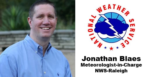
Blaes is the meteorologist in charge for the National Oceanic and Atmospheric Administration (NOAA) National Weather Service in Raleigh. “The rumor, the conjecture, the excitement is already out there,” Blaes told Town Talk host Bill Harris on Tuesday. He said there may be just enough cold temps associated with the system to create some wet snow, “and some of that will likely accumulate in some spots.”
But he doesn’t predict icy conditions and freezing rain or sleet, more a period of rain that mixes with wet snow, falling heavily, at times. And snow lovers, stay tuned: weather patterns and the jet stream flow the NWS is watching now could make you “optimistic” during the second and third weeks of January.
In addition to getting snow lovers’ hopes up, Blaes discussed weather topics and trends and how they affect North Carolina, from hurricanes and El Niño to why Person County seems to get more snow than its neighbors to the east. And why it’s been so awfully wet here lately.
Click play for TownTalk with guest Jonathan Blaes…
Blaes returned to Raleigh in 1998 (after stints in Sterling, VA and Albany, NY with the National Weather Service) and most recently as science operations officer at NWS in Raleigh, working to promote science and training while facilitating collaborating research activities with the University and other partners. He is a 1995 graduate of NC State, where he received a degree in meteorology from the Marine, Earth and Atmospheric Sciences Department.
“It has been rainy… in the northern Piedmont,” said Blaes, confirming the excessive rainfalls lately. This past year was one of the top 5 – 3rd or 4th wettest year on record,” and that’s without major impact from hurricanes. What began last winter and continued through spring is likely to remain in place this coming spring, he said.
Every 10 years, NOAA releases a 10-year trend for weather. He said the next update likely will present a set of data that shows slightly warmer temperatures on average. That doesn’t necessarily mean that temperatures are rising, he said, but that nighttime temperatures aren’t quite as low, which would push the overall average a bit higher.
 All this may contribute to fewer big winter ice storms in the area, but climate outlooks overall can be a little tricky, Blaes said. Precipitation forecasts are more straightforward –check “how much rain is in the gauge every day and add it up,” he said. “All it takes is one big storm” to skew the overall weather trend and to make it memorable.
This past year was a memorable hurricane season, Blaes said. The hurricane “season” traditionally runs June through November, but weather experts now are looking at storms forming in May. Reluctant to tie it all to climate change, Blaes said the systems that we in North America see as hurricanes form in sub-Saharan Africa, travel over the warm waters of the Atlantic and gain strength before doing damage as a hurricane in the Caribbean and the U.S. In general, climate change could mean not more storms, but storms that bring more rain. Higher rainfall in Africa can affect the storms we see here.
“Keep in mind, while we didn’t get clobbered by a hurricane this year, we didn’t have a landfall of a strong tropical storm or a hurricane that devastated the coast, we actually had the remnants or the fringes of anywhere between six and eight tropical storms or hurricanes impact our state,” Blaes said. And while we didn’t have a direct hit, the “glancing blows” from fringes of storms had an impact. Some of the worst conditions, he recalled, were recorded in practically the middle of the state – Greensboro – as the remnants of a hurricane made its way from Louisiana across the NC mountains. Nearly half of the rainfall from late July through September is the result of a tropical storm or its remnants.
Stronger, wetter storms that track farther inland, as well as sea level rise, Blaes said are warning signs that people should be aware of. Because North Carolina is situated in the middle latitudes, we get systems from the tropics as well as Arctic air from the Poles. The mountains to the west between the mountains and the ocean, our state experiences strange weather from time to time. The mountains to the West and the warm waters of the Atlantic Ocean both affect weather systems and patterns. “We’re in this mixing bowl,” Blaes noted. Mother Nature is always looking for balance. If there’s too many of one thing or if it’s too hot or too cold, Nature wants to find a way to get things even. But it never succeeds. That imbalance, that effort to achieve balance is what causes the weather,” he said.


