National Weather Service

Hurricane Preparedness Week: Inland Flooding & Disaster Supplies

-Information courtesy Henderson-Vance County Emergency Operations

THIS WEEK IS NORTH CAROLINA’S HURRICANE PREPAREDNESS WEEK

All week long the National Weather Service will issue informative messages to help you prepare for the hurricane season. Today’s topics include inland flooding and assembling disaster supplies.

Inland Flooding

Inland flooding is the most deadly and serious threat hurricanes bring to inland areas of North Carolina. In September 1999, inland flooding occurred with Hurricane Floyd and claimed 35 lives in North Carolina. Hurricane Matthew in October 2016 generated record flooding across much of the coastal plain of North Carolina, claimed 28 lives and left thousands homeless and entire towns under water.

More recently, Hurricane Florence produced devastating inland flooding and resulted in 11 flood-related deaths in North Carolina.

Overall, most hurricane deaths over the past 30 years have been the result of flooding, many of which have occurred in automobiles as people attempt to drive through flooded areas where water covers the road.

It is important to realize the amount of rain a tropical system produces is not related to the intensity of the wind. Weak hurricanes and even tropical storms have caused disastrous floods throughout history. For example, in 2006 the remnants of Tropical Storm Alberto moved over central North Carolina dropping 4 to 8 inches of rain from Sanford to Raleigh, resulting in major flooding along numerous creeks.

So what can you do? Anytime a hurricane or tropical storm threatens, think flooding. It is very important to determine if you live in an area at risk of flooding. If your yard or nearby roads around your home flood during ordinary thunderstorms, then you are at serious risk of flooding from torrential tropical rainfall. Those living near creeks, streams and drainage ditches should also closely watch water levels. Remember, extreme rainfall events bring extreme flooding typically not experienced in the past. During extreme events, even those areas which normally do not flood are at risk.

Always stay aware of road conditions and make sure your escape route is not becoming flooded by heavy rain. Never attempt to cross flowing water; instead, remember to turn around, don’t drown. The reason that so many people drown during flooding is because few of them realize the incredible power of water. A mere six inches of fast-moving flood water can knock over an adult. It takes only two feet of rushing water to carry away most vehicles. This includes pickups and SUVs. Never allow children to play near streams, creeks or drainage ditches. As rainwater runs off, streams, creeks, and ditches fill with running water that can easily sweep a child away.

Finally, have an emergency action plan and know your homeowners and flood insurance policies. Flood damage is not usually covered by homeowners insurance. Do not make assumptions and remember to check your policies.

Assemble Disaster Supplies

You’re going to need supplies – not just to get through the storm but for the potentially lengthy and unpleasant aftermath. Have enough non-perishable food, water and medicines to last each person in your family a minimum of one week. Electricity and water could be out for at least that long.

You’ll need extra cash, a 30-day supply of medicines, a battery-powered radio and flashlights. Many of us have cell phones, and they all run on batteries. You’re going to need a portable, crank or solar powered USB charger. Before the storm, be sure to fill up your car or a gas can. If the power goes out, you will be unable to pump gas.

To learn more about what to include in your disaster supply kit, please visit https://flash.org.

For more information about hurricane preparedness…please visit the following web sites:

https://www.nhc.noaa.gov/prepare
https://www.readync.org

Granville County: Compost Bins & Kitchen Caddies Now Available

-Press Release, Granville County Government

“Reduce – Reuse – Recycle” comes to mind when most everyone sees the “recycle” symbol, but it also has another message and meaning that goes deeper, “Collection – Processing – Utilization.”

This can be accomplished by composting in three easy steps: 1) collect food scraps or residuals, along with leaves or shredded paper; 2) place items into the compost bin or pile to let the “processing” occur; and 3) use the finished product in your gardens, indoor plants, on your lawn and many other applications.

Since approximately one-third of food produced for human consumption is wasted, everyone should strongly consider backyard composting.

Outdoor compost bins and kitchen caddies are now available for purchase. Contact Granville County Recycling Coordinator Teresa Baker at 919-725-1417 or bakertd@gcs.k12.nc.us if you would like to get started today.

Artist Spotlight Segment with The Will Easter Band 05/08/19

The Artist Spotlight Segment  airs every Wednesday morning at 8:30 AM.

Artist Spotlight Segment with Joshua Shelton 05/01/19

The Artist Spotlight Segment airs every Wednesday morning at 8:30 AM.

NC Coop Extension

Cooperative Extension with Paul McKenzie 05/08/19

Home and Garden 05/07/19

News 05/08/19

Town Talk 05/08/19

Local Author Opens Book & Gift Store in Downtown Henderson

Angie Ellington, local author and owner of the recently opened Calico Paw Books & Gifts in downtown Henderson, was the guest of honor on Tuesday’s edition of WIZS’ Town Talk program.

Located at 131 S. Garnett St. across from the former Wildflower Café building, the independent book store held its grand opening on Friday, April 27. Coincidentally, grand opening activities coincided with the date for this year’s National Independent Book Store Day.

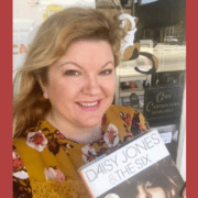
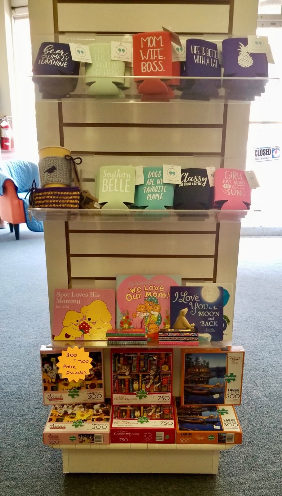
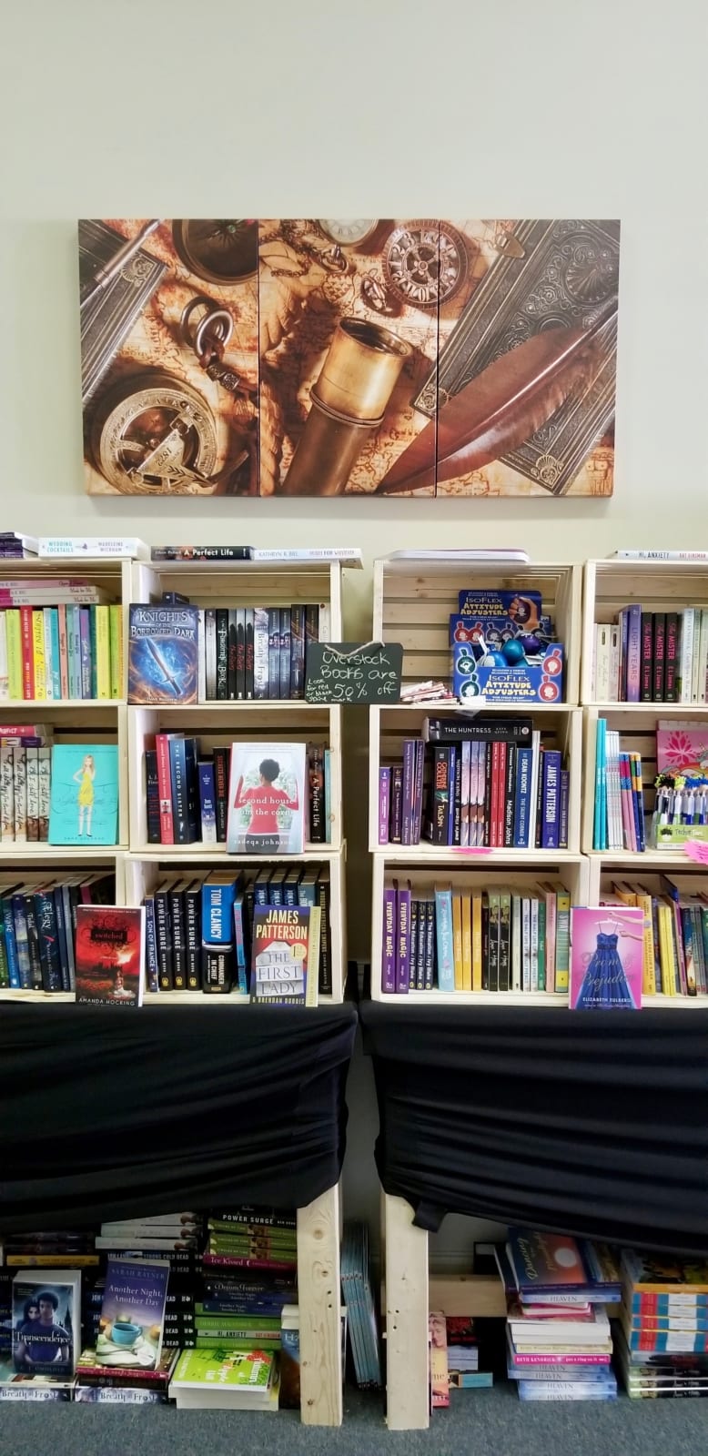
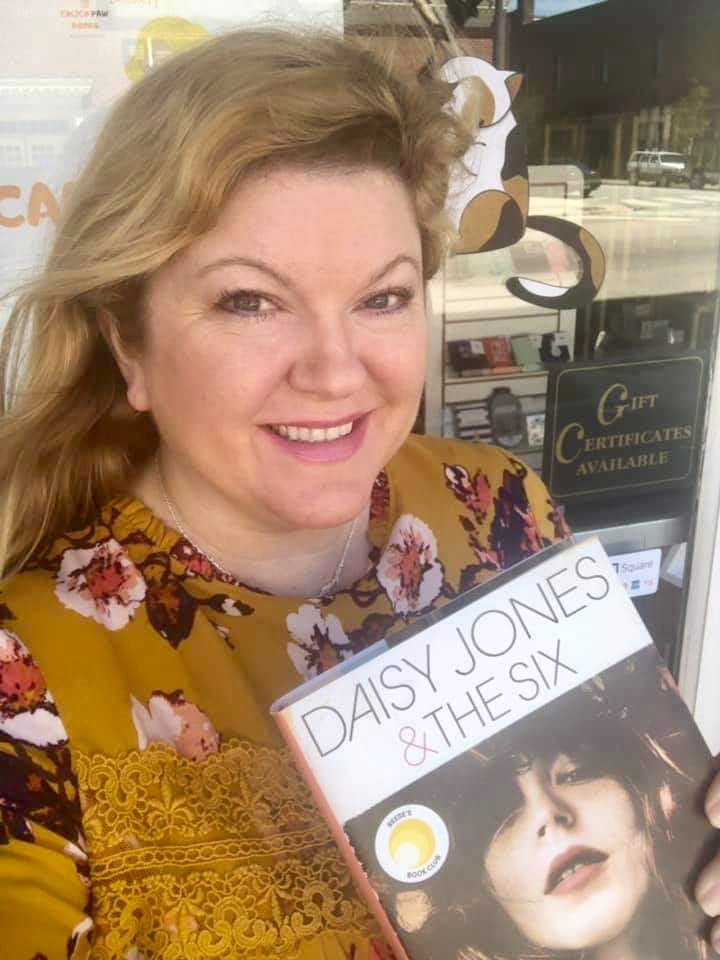
Ellington said her vision for the store was born, in part, from her desire to make book buying more of an “experience” than one would get from purchasing online from a big retailer.

“I thought it would be nice to have something downtown where people can come in, pick up a book, sit down, buy a cup of coffee and read in the store,” Ellington explained.

As for the store’s name, Ellington was inspired by her own Calico cat, Miss Callie Ellington. A canvas print of Callie even hangs in the store for those interested in seeing the business’s namesake.

Of course, the store’s main draw is its selection of affordable books. Appealing to a diverse crowd, Calico Paw carries new and discounted books for all ages in a variety of genres. In fact, Ellington said a large selection of books is currently marked down to 50% off.

While primarily a book store, Ellington is also excited about the gift items she has in stock, including Huntsboro Hemp Company’s CBD products, bath and body products, candles, coffee mugs, drink koozies and hand-crafted items made by local merchants.

Much like her own independently published books, local and “indie” authors have a special place in Ellington’s heart, and in her store.

Originally from Oxford, Ellington grew up pursuing creative endeavors and participated in local theater. After graduating from UNC-W with a degree in Elementary Education, she taught grade school in Wilmington for several years before moving back to the local area.

Two years ago, Ellington began pursuing her creative interests by writing, and later self-publishing, her first book “Christmas in Fair Bend.” Four additional books quickly followed – “Spring in Lilac Glen,” “Dancing by the Moonlight,” “Love at the Salted Caramel Café” and “Autumn at Apple Hill.”

In describing the style of her books, Ellington said she writes “cozy and sweet romances with a bit of sass.”

You’ll find Ellington’s books, along with the works of many other independent and traditionally published authors, at Calico Paw Books & Gifts.

Store hours are Monday, Wednesday and Friday from 10:30 a.m. – 6:30 p.m.; Tuesday and Thursdays from 11 a.m. – 7 p.m.; two Saturdays a month – times may vary.

For additional information, including store updates, Saturday hours and special events, please visit Calico Paw’s website at www.calicopawbooks.com or visit the store’s Facebook, Twitter and Instagram pages.

To hear the Town Talk interview with Angie Ellington in its entirety, click here.


National Weather Service

Hurricane Preparedness Week: High Winds & Insurance Coverage

-Information courtesy Henderson-Vance County Emergency Operations

THIS WEEK IS NORTH CAROLINA’S HURRICANE PREPAREDNESS WEEK

All week long, the National Weather Service will issue informative messages to help you prepare for the hurricane season. Today’s topics include high winds and secure an insurance check-up.

High Winds

The Saffir-Simpson Hurricane Wind Scale classifies hurricanes into five categories based on their sustained wind speed at the indicated time. Hurricanes reaching Category 3 and higher are considered major hurricanes because of their potential for significant loss of life and property. Category 1 and 2 storms are still dangerous and require preventive measures.

It is important that you know your hurricane warning terminology – the difference between watches and warning:

Hurricane Warning: An announcement that sustained winds of 74 mph or higher are expected somewhere within the specified area in association with a tropical, subtropical, or post-tropical cyclone. Because hurricane preparedness activities become difficult once winds reach tropical storm force, the warning is issued 36 hours in advance of the anticipated onset of tropical-storm-force winds. The warning can remain in effect when dangerously high water or a combination of dangerously high water and waves continue, even though winds may be less than hurricane force.

Hurricane Watch: An announcement that sustained winds of 74 mph or higher are possible somewhere within the specified area in association with a tropical, subtropical, or post-tropical cyclone. Because hurricane preparedness activities become difficult once winds reach tropical storm force, the watch is issued 48 hours in advance of the anticipated onset of tropical-storm-force winds.

Tropical Storm Warning: An announcement that sustained winds of 39 to 73 mph are expected somewhere within the specified area within 36 hours in association with a tropical, subtropical, or post-tropical cyclone.

Tropical Storm Watch: An announcement that sustained winds of 39 to 73 mph are possible somewhere within the specified area within 48 hours in association with a tropical, subtropical, or post-tropical cyclone.

Keep in mind that even tropical storm force winds of less than 74 mph are capable of tossing around debris and causing damage similar to that seen in inland areas during Hurricane Fran especially in the Raleigh area. For this reason, you should seek shelter from the wind in a sturdy building as the hurricane moves inland and before the onset of tropical storm force winds. Tropical storm force winds usually strike hours ahead of the actual hurricane’s eye. For this reason, many emergency officials typically have evacuations completed and personnel sheltered before the onset of tropical storm force winds.

Hurricane-force winds can easily destroy poorly constructed buildings and mobile homes. Debris such as signs, roofing material, and items left outside become flying missiles in high wind. Falling trees cause extensive damage to power lines, towers and underground water lines. This can cause extended disruptions of utility services and you need roofing contractors to fix things. Damaging hurricane force winds can be just as devastating as tornadoes.

You can protect windows by installing hurricane shutters or prepare 5/8 inch plywood panels. Garage doors are also very susceptible to high wind and fail frequently in tropical storms and hurricanes when wind gusts exceed 70 mph. Reinforcing garage doors with affordable braces significantly increase structural integrity.

Things you can do before a storm threatens include assessing your home’s landscaping and assess the threat from falling trees. Trim back any dead limbs as well as large overhanging branches. Pick up all loose objects around the house including lawn furniture, grills, and potted plants. Lastly, have a plan of where to seek shelter in your home if high wind threatens you. Talk with your family and let everyone know where your predetermined safe room is in your home. Interior hallways, closets and bathrooms are the safest locations. Always stay away from windows and exterior doors.

Secure an Insurance Check-up

Call your insurance company or agent and ask for an insurance check-up to make sure you have enough homeowners insurance to repair or even replace your home. Don’t forget coverage for your car or boat. Remember, standard homeowners insurance doesn’t cover flooding. Whether you’re a homeowner or renter, you’ll need a separate policy for it, and it’s available through your company, agent or the National Flood Insurance Program at www.floodsmart.gov. Act now as flood insurance requires a 30-day waiting period. Finally, know where your insurance documents and contact information are located, and be sure to take them with you if you have to evacuate.

For more information about hurricane preparedness, please visit the following web sites: • https://www.nhc.noaa.gov/preparehttps://www.readync.org.